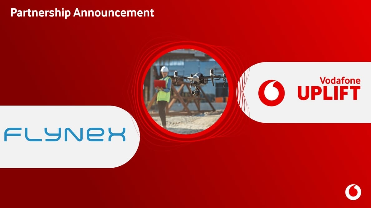
Vodafone Germany and FlyNex Launch DroNet Hub
The new online platform 'DroNet Hub' makes commercial drone flights possible for every company with just a few mouse clicks - regardless of whether it is a large corporation or a medium-sized company. Everything from planning to implementation and analysis to the finished report is now possible online.
What Problems are there with Using Drones?
So far, companies have had to ask themselves several questions before they can allow commercial drones to take off: Where and within what radius can drones be used? Where are no-fly zones? Where can I get approval for the planned drone flight quickly? What is the local network coverage like so that the drones can always stay connected to the control unit even from a distance and can transmit high-resolution images in real time? How many people are there that users have to take into account? And after the flight, at the latest, the question arises: How can the images obtained be meaningfully evaluated so that, for example, defects or infrastructure damage that is barely perceptible to the human eye can be identified as quickly as possible?
Now that's changing. Vodafone and FlyNex are launching the first all-round, worry-free package for commercial drone flights with the 'DroNet Hub' platform. Here, drone flights can now be planned, organized and carried out in detail for the first time, and the data and images recorded can be evaluated and managed centrally.
"We are launching the first all-inclusive service for commercial drone flights. With 'DroNet Hub' we are democratizing drone services - so that they don't have to land again before they can even take off: We want to make commercial drone flights easy and safe for everyone who wants to use them sensibly. Very easy and at the click of a mouse. Only then can drones really help us, for example, to protect our infrastructures,"
says Michael Reinartz, Head of Innovation at Vodafone Germany.
"The potential for the use of commercial drones is huge. More and more industries are recognizing the added value of integrating commercial drones into their operational processes. The use of drones makes it possible to be much more efficient, digital and sustainable. A key challenge is the simple planning and implementation of drone operations and the subsequent evaluation of the data obtained. With the Vodafone 'DroNet Hub', FlyNex and Vodafone are on a promising path into the future,"
says Michael Petrosjan, Managing Director of FlyNex.
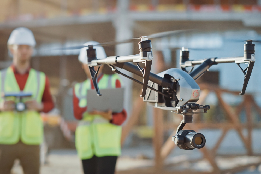
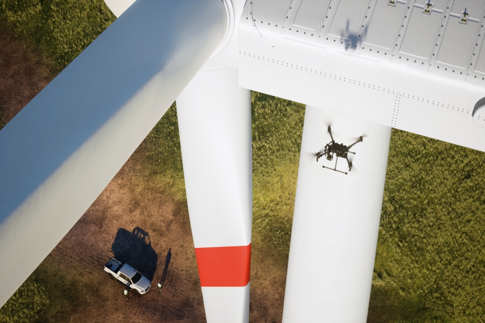
Drones Help with the Maintenance of Critical Infrastructure
Industrial plants, power pylons, wind farms - these are just three examples of infrastructure that have one thing in common: their inspection and maintenance are complex, expensive and sometimes very risky due to their size and height, among other things. Undetected damage, in turn, represents a significant risk factor, also for the general public. This is exactly where drones can help. But many companies shy away from this, for example because of long approval processes or the lack of drone expertise. This untapped potential hinders the actual use of drones and exposes inspectors to avoidable risks.
AI Ensures the Best Possible Information for Drone Flights
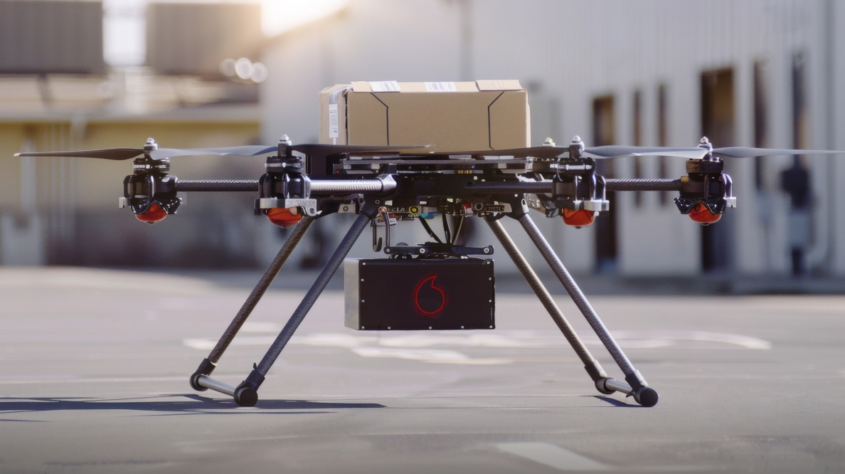
One year ago, Vodafone launched 'DroNet', the first service for basic information about drone flights. 'DroNet Hub', a software-based all-round, worry-free package for commercial drone flights, goes well beyond this and makes the use of drone flights easier from the initial planning to the final analysis using artificial intelligence (AI). The scope of the service depends entirely on the user's wishes: from planning and organizing the flight to the automated data collection using drones, to the finished report. And the new 'DroNet Connect Stream' tariff with a high-speed data volume of 500 GB, optionally expandable to up to 1 TB, ensures that the data from the drone is transmitted directly and live to 'DroNet Hub'.
What is new is the integration of data from the mobile network, which supports faster and easier approval with forecasts of the expected connectivity and population density on the flight route. Also new: With the help of artificial intelligence, which is integrated into the system, aerial photographs can be analyzed more quickly and reports can be automated. For example, the images obtained can indicate damage to critical infrastructure, for example, using AI-supported image analysis in 'DroNet Hub'. Other possible uses include the creation of 3D models or digital twins.
Source: Press Release