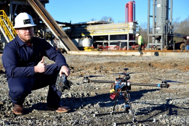
UAS to Map Compromised Texas Dam
“With this technology you can create a 3D terrain analysis model of the real world, give it to any engineer and they can put that into a CAD-like program and build whatever it is they’re going to build from their desktop, without ever going into the field,”