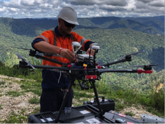
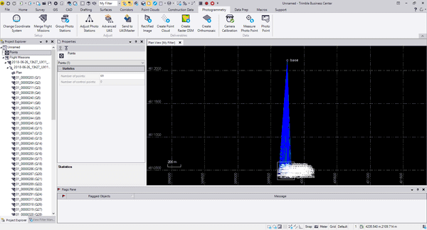
Testing
Environmental Drone Automatically Tests Water Quality
Indra has been responsible for the development of automatic devices for capturing samples and data, in collaboration with the Galician company Aeromedia.
Testing
Indra has been responsible for the development of automatic devices for capturing samples and data, in collaboration with the Galician company Aeromedia.
Mapping & Surveying
“LiDARUSA and Innoflight Technology are both committed to customer success, and this partnership provides the whole package for LiDAR mapping solutions with UAV,”
Business
“We’re thrilled to officially partner with Wingtra and make a fixed-wing VTOL drone available to our customer base,” said Chris Anderson, 3DR CEO.
Commercial
“Insitu Commercial has been working closely with the Civil Aviation Safety Authority (CASA), PNG and other government regulatory bodies to demonstrate safe and effective integration of UAS into PNG airspace.”
Construction
Delair has announced interoperability of high-precision data acquired from the Delair UX11 drone with version 5.0 of the Trimble Business Center software.
Commercial
Terra Drone South Africa has announced its corporation with Sibanye Stillwater and had conducted the demonstration aimed to improve mining solutions.
Software
Version 5.0 of Trimble Business Center merges two products, Trimble Business Center and Business Center – HCE, to provide both surveying and civil construction customers with a complete office software solution.
Business
Commercial
Swiss UAV manufacturer Wingtra has announced the launch of WingtraOne PPK (Post-Processed Kinematics) UAV.
Mapping & Surveying
Teledyne Optech’s Titan sensor was used by the University of Houston’s National Center for Airborne Laser Mapping (NCALM) to reveal extensive Mayan ruins in Guatemala.
Mapping & Surveying
“With this project, we are seamlessly pursuing the vision of our company: empowering professionals across industries to effortlessly gather geospatial data from the sky, enabling them to make more informed decisions, more efficiently and effectively”
Events
On January 31, 2018, RIEGL became the proud recipient of the 2017 MAPPS Geospatial Products and Services Excellence Award.