Raytheon Key Partner to Develop America’s First Drone-Testing Airspace Corridor
The Northeast UAS Airspace Integration Research Alliance selected Raytheon as a key partner in the development of America’s first and most advanced unmanned aircraft system-testing airspace corridor in New York state.
Raytheon’s Intelligence, Information and Services business will help plan, design, build and support the state’s next-generation air traffic management system to safely test and manage drones.
“UAS are playing an increasingly important role in our society, which means we must have low-altitude air traffic management solutions,” said Matt Gilligan, vice president of Raytheon’s Navigation, Weather, and Services mission area. “The New York airspace corridor is the first-of-its-kind, but it won’t be the last.”
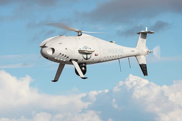
The new corridor will extend 50 miles (80 kilometers) west from Griffiss International Airport, which is one of only seven Federal Aviation Administration-approved unmanned aircraft systems test sites in America. It will allow companies to test both drones and air traffic management technologies in real-world settings, generating valuable data that will inform industry and regulators and ultimately advance the commercial use of drones.
“
Raytheon’s leadership in air traffic management includes the low-power radar, a small, one-meter square Active Electronically Scanned Array, or AESA, software-defined radar unit. When numerous LPRs are networked together, the radar units can cover and control the low-altitude flights of smaller craft—a feat not possible with current large radar systems.
A distributed, low-level LPR network could be created with relative ease, mounting the system atop current cell phone towers or tall buildings.
A LPR network could support:
- Safe plane and drone landings
- Aviation surveillance
- Precision weather observations (including 3-D wind information and urban hydrology)
- Small drone detection and tracking
- Border security and surveillance
- Wildfire detection
- Elevation and geographic gap fills
Source: Press Release