Landscape Architects Use Drones to Collect Geospatial Data in the Galápagos
With the democratization of drone technology, landscape architects can play a larger role in creating needed geospatial data sets, rather than just consuming them.
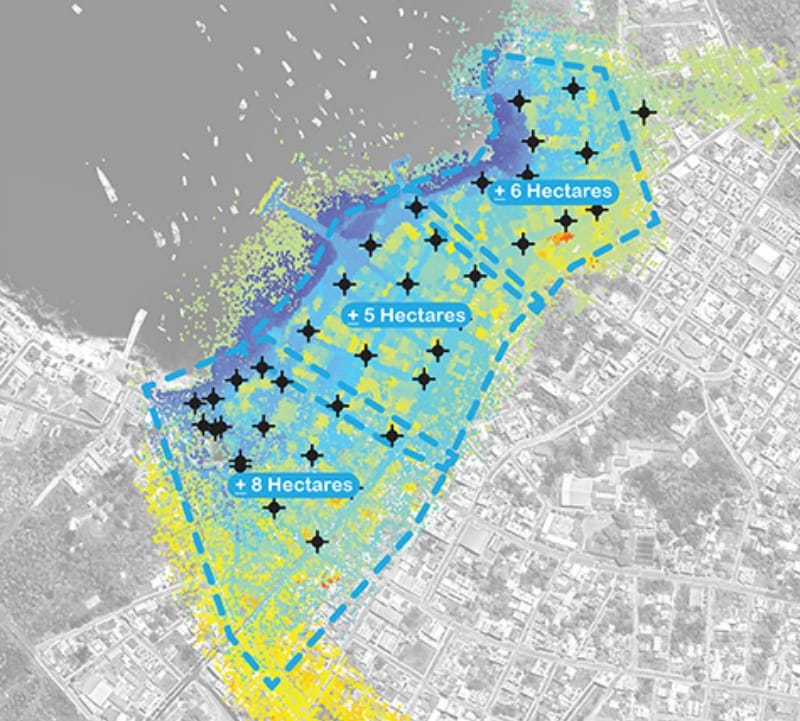
With the democratization of drone technology, landscape architects can play a larger role in creating needed geospatial data sets, rather than just consuming them.
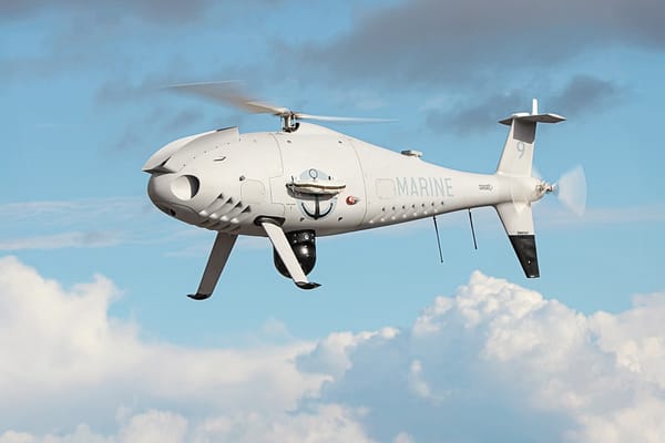
“The French Navy was among the first European naval forces to operationally integrate the CAMCOPTER S-100 into its shipborne operations. This follow-on order reflects the system’s capabilities, as well as maturity and the confidence placed in its performance at sea. "
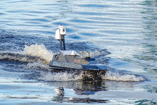
The exercises proved a complete success, showcasing the robust performance of UAV Navigation–Grupo Oesía’s autonomous control system and the significant operational advantages of next‑generation unmanned maritime USV platforms such as NEWT21’s FOG USV.
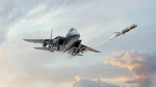
Combat-proven for over a decade, BAE Systems’ APKWS laser guidance kit redefines low cost, affordable precision munitions by hitting targets with pinpoint accuracy and minimal collateral damage – delivering critical lethality when it matters most.
Developed in collaboration with Aviation Design, the One-Way Effector was designed for scalable, low-cost mass production, with MBDA stating they were prepared to manufacture up to 1,000 units per month by leveraging automotive industry facilities.