Fingerprint Technology Inspires Non-GPS Navigation for Drones

– Advanced Navigation, an Australian supplier of autonomous systems and navigation technologies, along with MBDA, have signed a Memorandum of Understanding (MoU) to co-develop a resilient navigation system integrating MBDA’s NILEQ absolute positioning technology.Suitable for the modern era, the co-developed solution will provide resilient absolute positioning for a multitude of airborne platforms. The agreement will see the companies foster joint research and technology development between the United Kingdom and Australia.
Advanced Navigation CEO Chris Shaw said,
“In an increasingly uncertain world where interference is becoming ubiquitous, commercial and military sectors can no longer rely purely on GPS for flight operations. There is an urgent need for additional navigation aiding to supplement platform inertial navigation and GPS receiver systems.”Tom Tizard, MBDA Australia General Manager, said,
“We look forward to seeing MBDA’s innovation-driven solutions form the cornerstone of future airborne navigation systems. NILEQ seeks to address the enormous demand for resilient absolute positioning information that will complement the existing navigation systems of airborne platforms. Advanced Navigation are an ideal Australian partner to help accelerate the technology towards market entry. Navigation technologies that are not simply accurate and precise, but also provide the ‘resilience’ against interference, is what propels this partnership.”
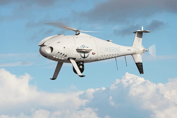
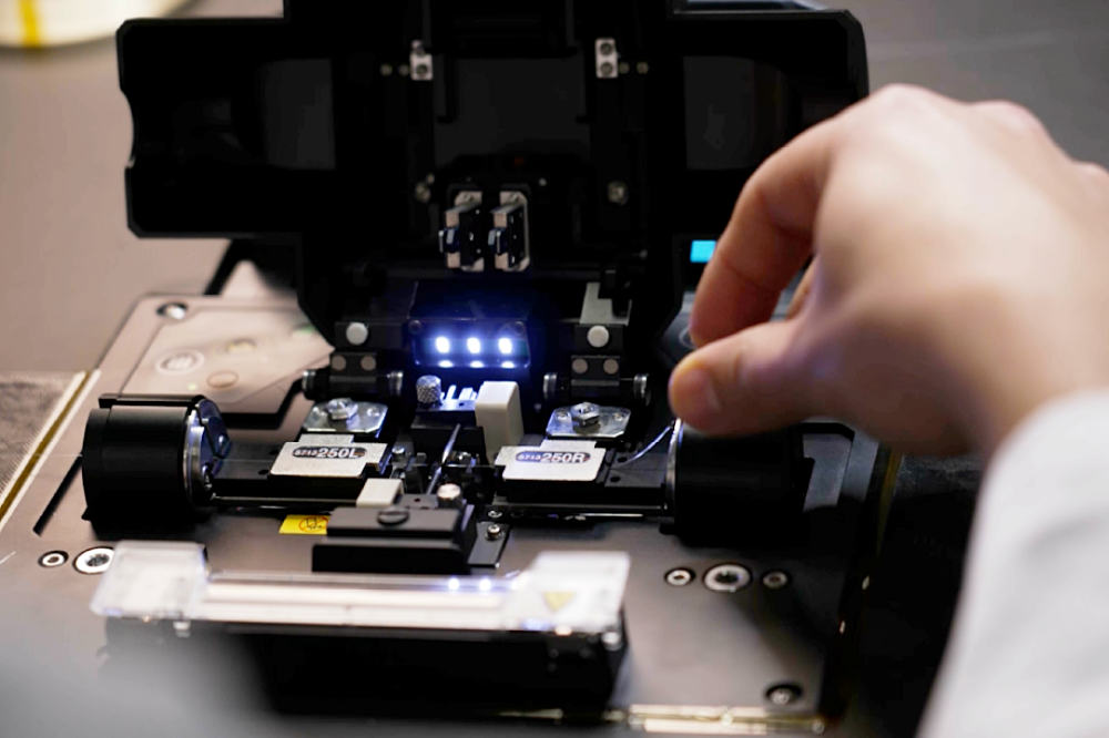
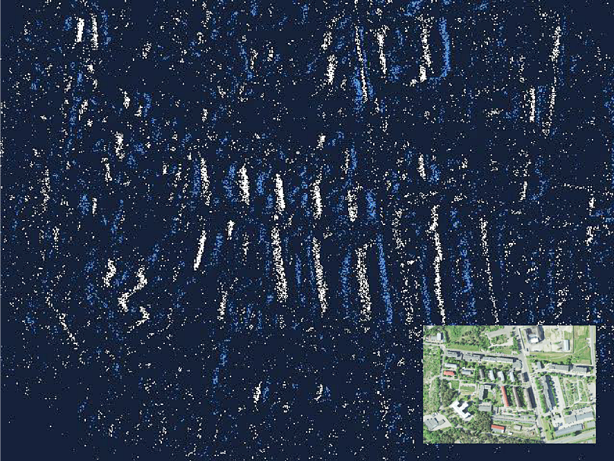
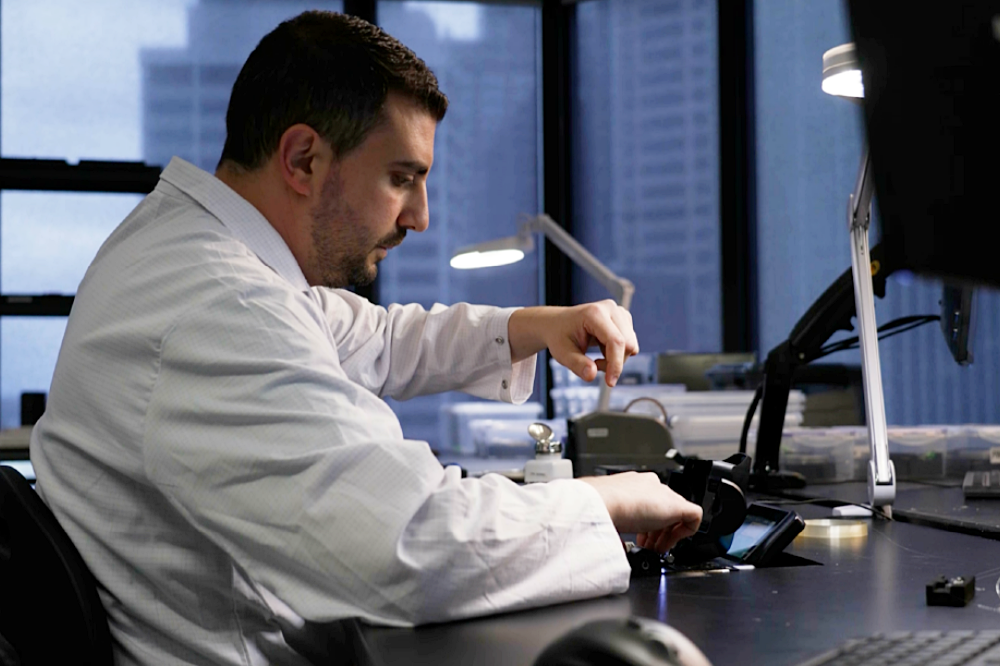
Absolute Positioning Using NILEQ-Derived Terrain FingerprintsNILEQ’s patent-pending technology is underpinned by the use of novel neuromorphic sensors to derive and match terrain fingerprints. Initially inspired by biological change detection processes, the sensing technology captures data of the changing terrain as an airborne system flies across it, and matches it to an existing database of the Earth’s surface.The final solution is set to enable systems, such as Uncrewed Air Systems (UAS), to secure an absolute position fix over land with a solution that is passive and resistant to interference. The technology will enhance the safety of beyond visual line of sight (BVLOS) operations, as the solution overcomes many of the conventional limitations of airborne image-based navigation technologies.
Strengthening Bilateral Relations Between UK and AustraliaHighlighting the importance of increasing bilateral opportunities, September marked the three-year anniversary for AUKUS, which was formed on 15th September 2021. The potential applications of the co-developed solution are wide-ranging and span both the civilian and military domains. The solution also further supports growing legal requirements for GPS alternatives. This is of heightened importance at a time when geopolitical conflicts and electronic warfare - the jamming and spoofing of GPS signals - are simultaneously on the rise.Regarding the strategic context of AUKUS Pillar 2, the companies are working on capabilities to translate novel, complex research and technology into meaningful practical applications that are of mutual benefit to the United Kingdom and Australia. This means informed decision-making, strategic autonomy, and heightened combat efficiency in the face of emerging threats. More than a strategic advantage, it is the key to bolstering national security.
Real World Demonstration Advanced Navigation and MBDA will validate NILEQ in an airborne demonstration planned in Australia.
Source: Advanced Navigation