Ex-RAF Pilot Flies UAS Missions for Wildlife and Landscape Protection
A former RAF pilot based in Northumberland is now using unmanned aircraft technology to safeguard, enhance and protect landscapes and wildlife in North East England.

Nigel King joined the RAF in 1978 after studying electronic engineering at Newcastle Polytechnic, later Northumbria University where his wife Dr Helen King is a senior lecturer. Nigel flew Gazelle, Puma, Wessex and Sea King helicopters for 16 years, serving across the world. For his last four flying years he was with the search and rescue operation based at RAF Boulmer in Northumberland.
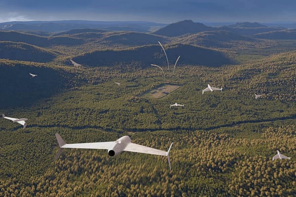
Two years ago Nigel, who lives on Druridge Bay at Low Hauxley village, set up Blue River Studios to combine his interests of flying and photography. He builds his own sUAVs ( small unmanned airborne vehicles), equipped with camera, computer and auto pilot.
Flying at up to 400ft, the drones can deliver hundreds of high resolution images, which can be stitched together to produce digital aerial maps and 3D models. It is possible to zoom in on tiny details in the images.
“The detail can greatly surpass satellite imagery and not suffer cloud cover issues or time delays of satellites. The lower costs and immediacy of images are also huge benefits,” said Nigel.
He has just finished a mission for Eco North, Northumberland Wildlife Trust’s consultancy service, which has resulted in an aerial map of the habitats of Druridge Bay and surrounding land.This will provide a baseline for planned large-scale landscape management of the bay area.
During the exercise, Nigel’s machines took 2,000 images from Warkworth to Newbiggin-by-the-Sea.
Nigel, who has been known to paddle a mile out to sea to rescue a downed drone, said: “The images can be used to study habitat change, coastal erosion and the effects of climate change.” His machines also use infra-red photography, which is especially useful for farmers.
Healthy vegetation gives off more infra-red so it can provide farmers with information on where to target fertiliser, which saves on costs and run-off into waterways. It can also pinpoint when crops are ready for harvesting. The technology is also used in plotting the health of peat lands and whether they are in retreat or regenerating. Forestry is another area of operation, such as tree counts, and other uses include archaeology, emergency services, police forensic and commercial.
“It is absolutely fascinating technology and the scope is huge,” said Nigel, who holds a Civil Aviation Authority licence.. He builds his own electric- powered aircraft from toughened foam and installs the electronics. Models range from 40in to 80in wingspan.
He has been operating from a workshop at home but is now ready to move into premises in Amble. He said: “I have spent painstaking hours building, developing, rebuilding, repairing, and testing, throwing everything away and going back to the drawing board again and again, spending every available hour driven by faith and determination to succeed.”
His reward has been not only a business with enormous potential but also the recognition of his achievements by the award of a fellowship from the British Institute of Professional Photographers.
Eco North’s Paul Salmon said that 113 square kilometres around Druridge bay had been covered. Eco North has recruited 25-year-old Catherine Taylor to work on the habitat mapping project. Catherine, who is from Chester-le-Street and graduated at Newcastle University in wildlife conservation and habitat management, said: “We have really detailed, up-to-date images. It’s brilliant.”
Source: Journal