EagleNXT Sells eBee TAC Tactical Mapping Drones to US Army
AgEagle Aerial Systems Inc. has announced the sale of six eBee TAC tactical mapping drones to the U.S. Army, each equipped with premium S.O.D.A. 3D and Duet M sensors featuring full RTK/PPK activation.
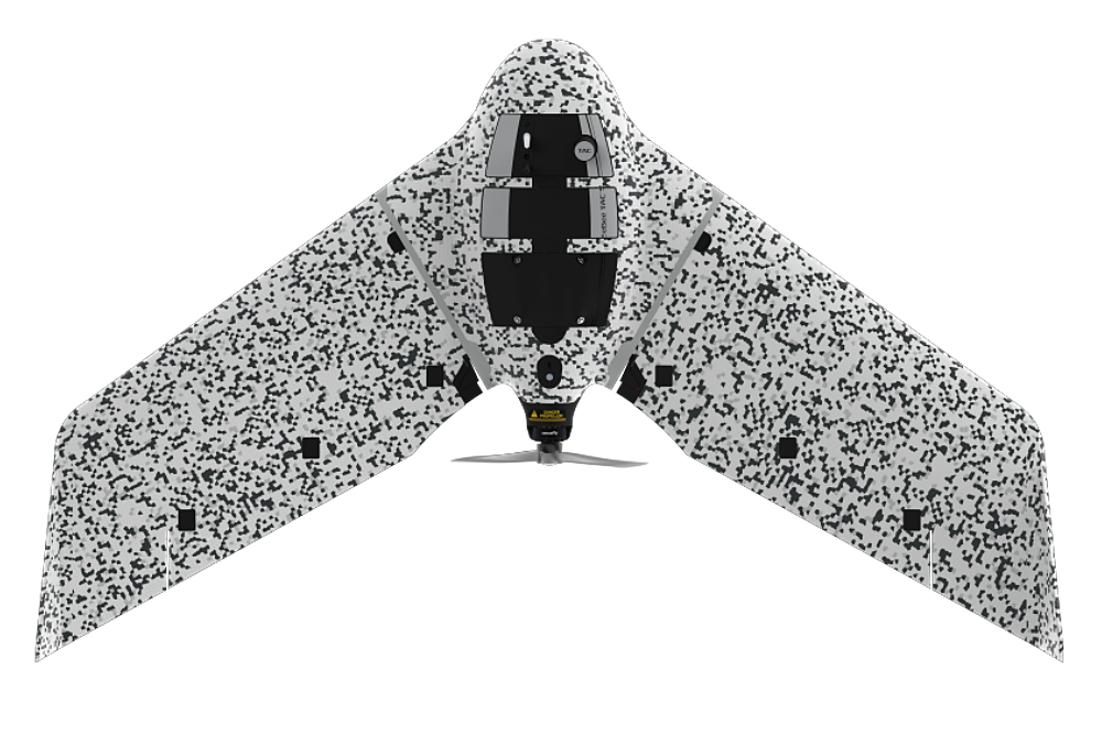
– AgEagle Aerial Systems Inc. has announced the sale of six eBee TAC tactical mapping drones to the U.S. Army, each equipped with premium S.O.D.A. 3D and Duet M sensors featuring full RTK/PPK activation.
This landmark transaction, facilitated through the Company’s commercial partner Dronivo GmbH in Germany will be used by the Army for multiple mission sets. The eBee TAC systems are engineered for superior tactical mapping performance, offering centimeter-level accuracy via activated RTK/PPK capabilities, eliminating the need for extensive ground control points even in challenging or disconnected environments.
High performance sensors available for configuration with the eBee TAC drone include:
- S.O.D.A. 3D sensor: Advanced photogrammetry camera capturing simultaneous nadir and oblique images for exceptional 3D modeling and comprehensive coverage, providing superior 3D reconstructions with multi-angle capture.
- Duet M: Powerful RGB/multispectral duo for precise vegetation analysis, environmental monitoring, and advanced surface modeling.
“This sale highlights the surging demand across Europe for advanced tactical mapping capabilities,” said Bill Irby, CEO of EagleNXT. “The need for rapid, reliable aerial data collection is expanding exponentially, and through 2025 we have implemented numerous operational improvements to deliver our drones and sensors in a shortened time frame, reducing customer wait times for capability.”
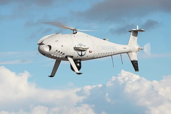
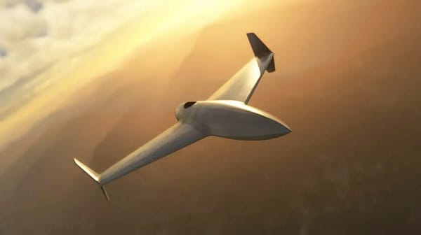
With a global track record of reliability and innovation, EagleNXT continues to empower professionals with tools that enhance situational awareness, efficiency, and safety. The eBee TAC is a fixed-wing, hand-launched drone optimized for tactical mapping and intelligence gathering, features a 90-minute endurance, 17.2-mile range, and digital camouflage for stealth.
“Our drones and sensors are designed for mission-critical applications in dynamic and remote settings,” continued Irby. “We are proud to answer the Department of War’s call for streamlined UAS acquisition. Our NDAA compliant, Blue UAS listed eBee TAC tactical mapping drones will support Army missions with proven, readily deployable technology.”
Possible defence mission sets for the eBee TAC include:
- Border surveillance and reconnaissance
- Tactical mapping for operational planning
- Intelligence gathering in conflict support operations
- Search and rescue
- Counterinsurgency
- Training and simulation support
Source: EagleNXT